OpenTopography represents a remarkable achievement in democratizing access to high-resolution topographic data. This NSF-supported platform serves as a centralized hub where researchers, educators, and professionals can easily discover and access diverse collections of terrain data, including lidar point clouds, radar datasets, and digital elevation models from sources like the USGS 3D Elevation Program.
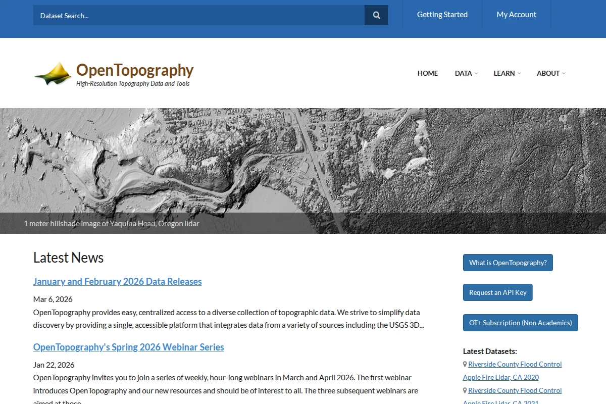
What sets OpenTopography apart is its commitment to simplifying the traditionally complex world of geospatial data. The platform integrates datasets covering over 500,000 km² globally, offering both web-based point-and-click access for casual users and sophisticated programmatic tools for researchers building automated workflows. The site features everything from detailed hillshade visualizations of Oregon’s coastline to 3D point cloud data of Colorado’s Flatirons, making complex topographic information accessible to a broad audience.
The platform’s educational mission shines through its comprehensive webinar series, API documentation, and extensive learning resources. OpenTopography doesn’t just provide data—it builds community around topographic research, offering tools that range from basic elevation queries to advanced analytical capabilities. The facility’s commitment to open science and data accessibility makes it an invaluable resource for anyone working with terrain data, from undergraduate students exploring landscape analysis to researchers conducting cutting-edge Earth science investigations.