ORBIS represents a groundbreaking achievement in digital historical scholarship, transforming our understanding of connectivity in the ancient world. Developed by Stanford University, this sophisticated geospatial network model reconstructs the true shape of the Roman Empire not as it appears on conventional maps, but as it was experienced by people living within its vast boundaries.
The project’s fundamental insight is revolutionary: in the premodern world, cost rather than distance determined connectivity. By simulating movement along the extensive Roman road network, major navigable rivers, and hundreds of Mediterranean, Black Sea, and coastal Atlantic routes, ORBIS reveals how geography, technology, and seasonal variations shaped the flow of people, goods, and information across three continents. The model accounts for different modes of transport from oxcarts to horse relays, incorporating realistic travel speeds and costs.
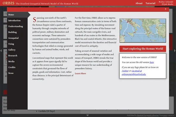
What makes ORBIS particularly compelling is its interactive approach to historical analysis. Users can explore routes between any two points in the Roman world, adjusting for seasonal conditions, transport priorities (fastest, cheapest, or shortest), and various travel modes. The resulting visualizations dramatically illustrate how places that appear close on modern maps could be weeks apart in terms of practical travel time, while distant locations might be surprisingly well-connected through efficient sea routes.