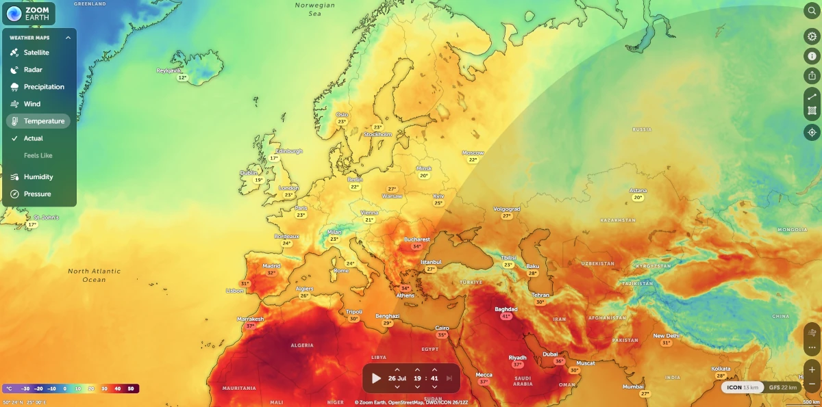
Zoom Earth – watch near real-time satellite imagery of Earth
Zoom Earth is an interactive satellite map that displays near real-time weather data from NASA, NOAA, and Blue Marble. View global cloud formations, track hurricanes and typhoons, follow wildfires, and explore ocean temperature anomalies – all in one interface. With frequent updates and high visual fidelity, it’s a must-have for weather enthusiasts, travelers, educators, and curious explorers of our living planet. 🔗 zoom.earth