Our World in Data: Global Progress Through Research & Charts
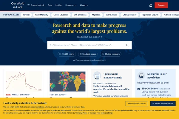
Our World in Data stands as one of the web’s most ambitious and valuable resources for understanding global trends and human progress. Created by researchers at the University of Oxford, this non-profit platform transforms complex statistics into accessible, interactive visualizations that help us grasp the scale of world’s biggest challenges and how they’re changing over time. The site houses over 13,900 charts covering everything from poverty and disease to education and climate change, alongside 126 comprehensive topic pages that provide deep dives into specific issues. What sets Our World in Data apart is its commitment to making data both beautiful and meaningful — each chart tells a story about human development, often revealing surprising trends like how Argentina was once richer than Spain or how literacy rates have shifted between regions. ...