Interactive 3D Star Map by Chrome Experiments
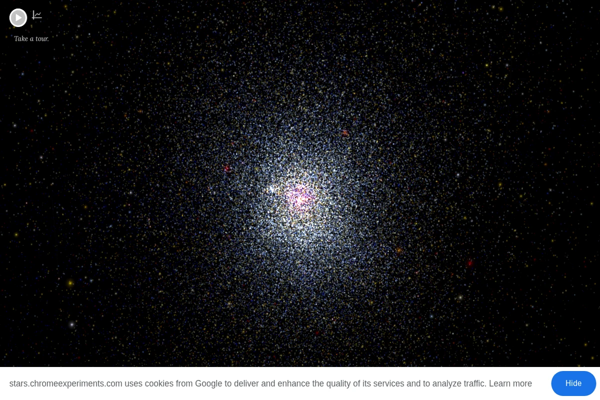
This remarkable Chrome Experiment transforms astronomical data into a breathtaking interactive journey through our cosmic neighborhood. The visualization presents thousands of stars positioned according to their actual three-dimensional coordinates in space, allowing visitors to navigate freely through the stellar landscape surrounding our solar system. What makes this experience particularly compelling is its scientific accuracy combined with intuitive exploration. Each star is positioned based on real astronomical data, including familiar names like Proxima Centauri, Sirius, Vega, and Betelgeuse. The interface encourages discovery through movement, letting you appreciate the true scale and structure of our local stellar environment in ways that traditional flat star charts simply cannot convey. ...